D7E
Veteran Member
- Joined
- May 10, 2006
- Messages
- 2,267
- Location
- manitoba
- Tractor
- Versatile 895 Versatile 876 Ford TW20 Ford TW5 MF 3505 FWA MF 390 FWA Ford 7600 Fiat 766 FWA JD 2030 MF 165 MF 35 Fordson major x 3 CAT 416 b Backhoe Case 580 b backhoe MF
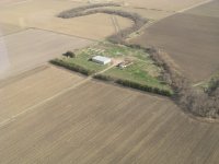
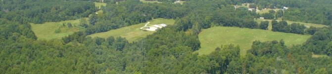
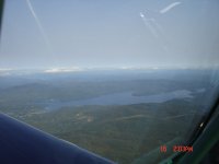
My crop sprayer friend took me up to take some pics of the farm a few days ago....
")