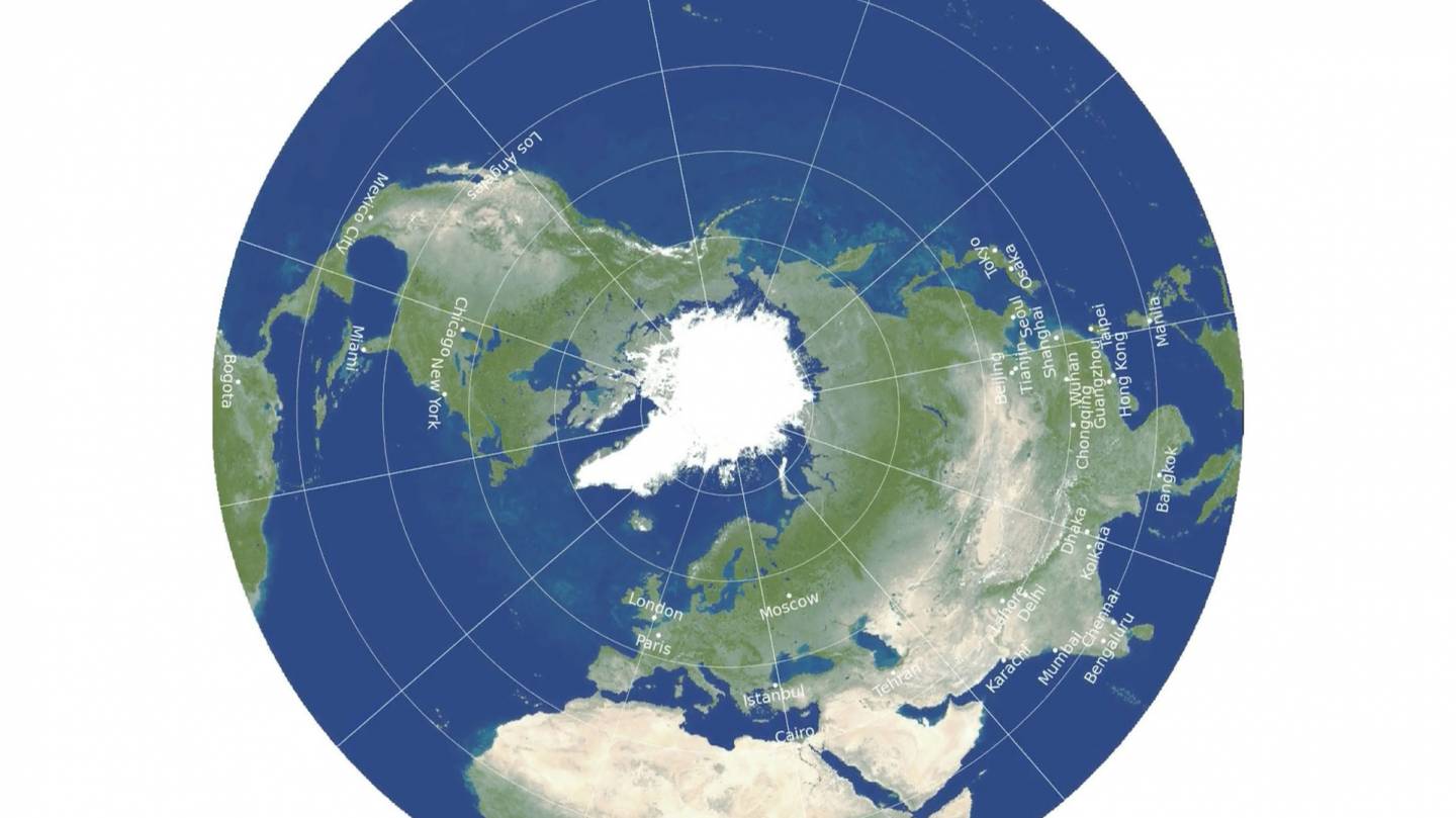
Again, the point is, all we were shown in grade school was the mercator map. It's highly distorted and doesn't give little kids a true comparison of the size of different countries and land masses.
The light color is how we were taught. The dark color is how it really is.
Unless you give each kid a globe (we had ONE in each classroom), they don't learn this until much later in life, if at all, or like I did, they see something that doesn't make sense and question it. Fortunately, my parents knew the answer and were able to explain it.
Almost everyone was taught that Greenland was bigger than Africa, when in reality, Africa is 14.5 times larger than Greenland.
Question everything.
The
View attachment 776375

www.nytimes.com

")

