kenmbz
Super Star Member
- Joined
- May 8, 2019
- Messages
- 10,803
- Location
- S.E. PA
- Tractor
- Massey Ferguson GC1720/JD x360/Echo CS-490/CS-620
What are political maps used for?
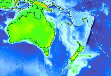
A political map shows legal, jurisdictional, political, or administrative boundaries. These can be national country borders or sub-national lines such as counties, states, provinces, cities, or wards. Political maps are frequently used to depict Census data and election results.
A political map shows legal, jurisdictional, political, or administrative boundaries. These can be national country borders or sub-national lines such as counties, states, provinces, cities, or wards. Political maps are frequently used to depict Census data and election results.


